3D Atlas of Zion National Park

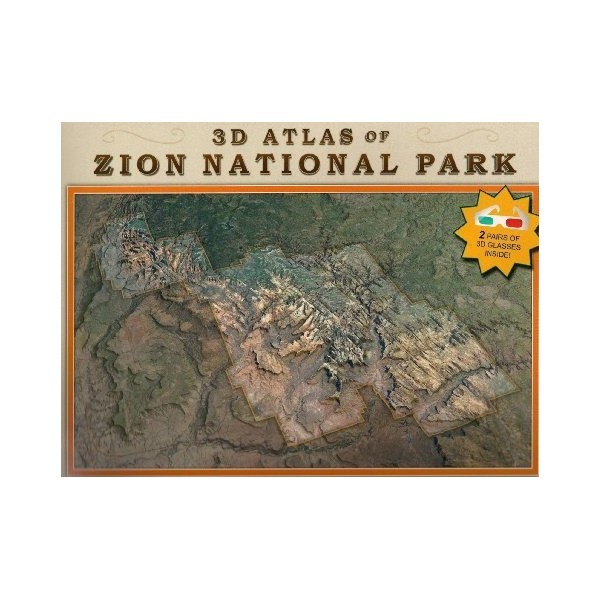
Utah's Zion National Park is one of the best known and loved travel destinations in the United States. Over the course of millions of years, the Virgin River eroded a deep gorge bounded by majestic vertical cliffs of ancient red and white sandstone, which are lined with hanging gardens and breathtaking waterfalls.


